
Projects That Define Our Expertise
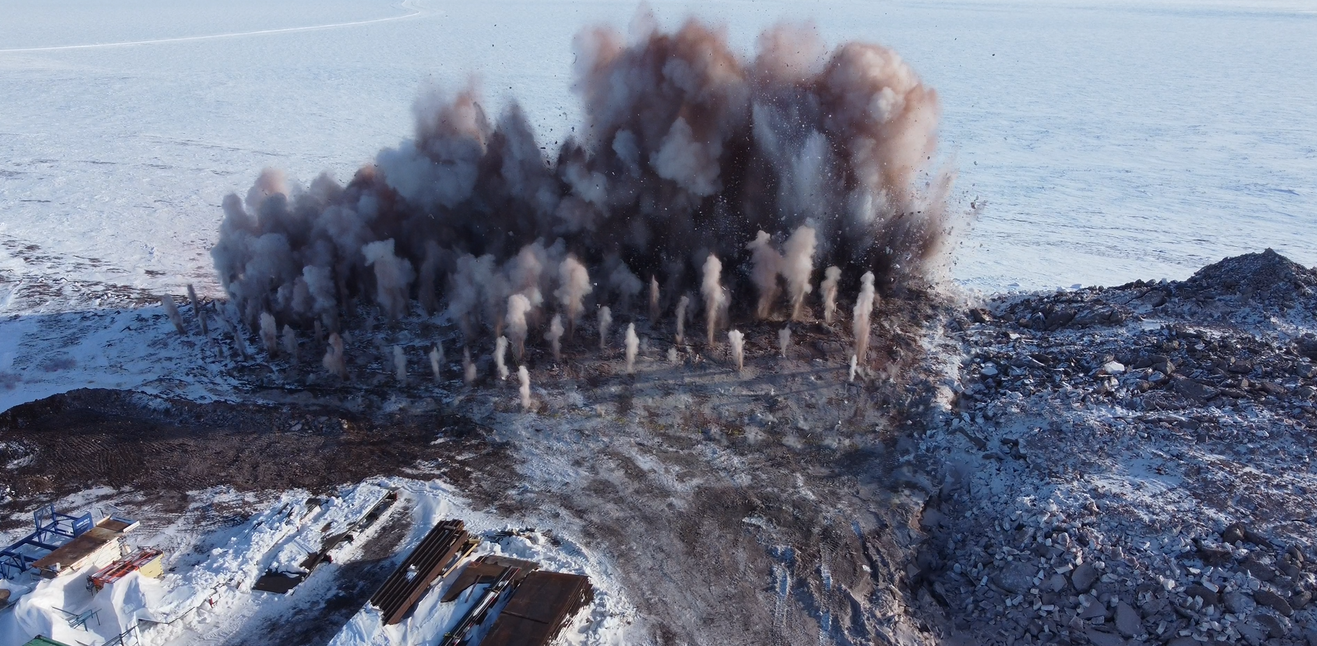
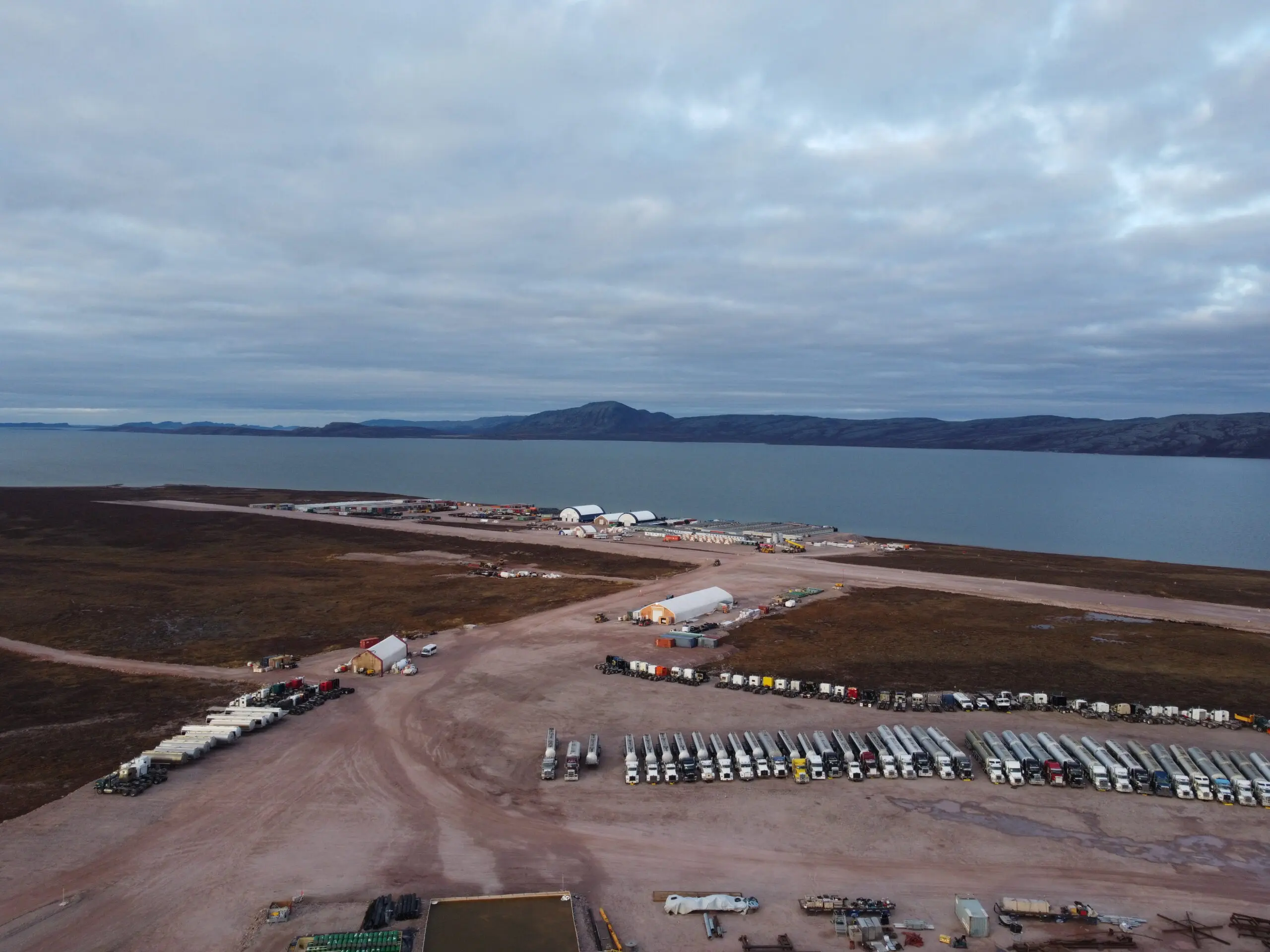

Geospatial Imaging
Our Services
Geomatics & Surveying
Precision field surveying for mine-site, civil, and marine environments — delivering accurate data for design, construction, and compliance in the North’s most challenging terrain.
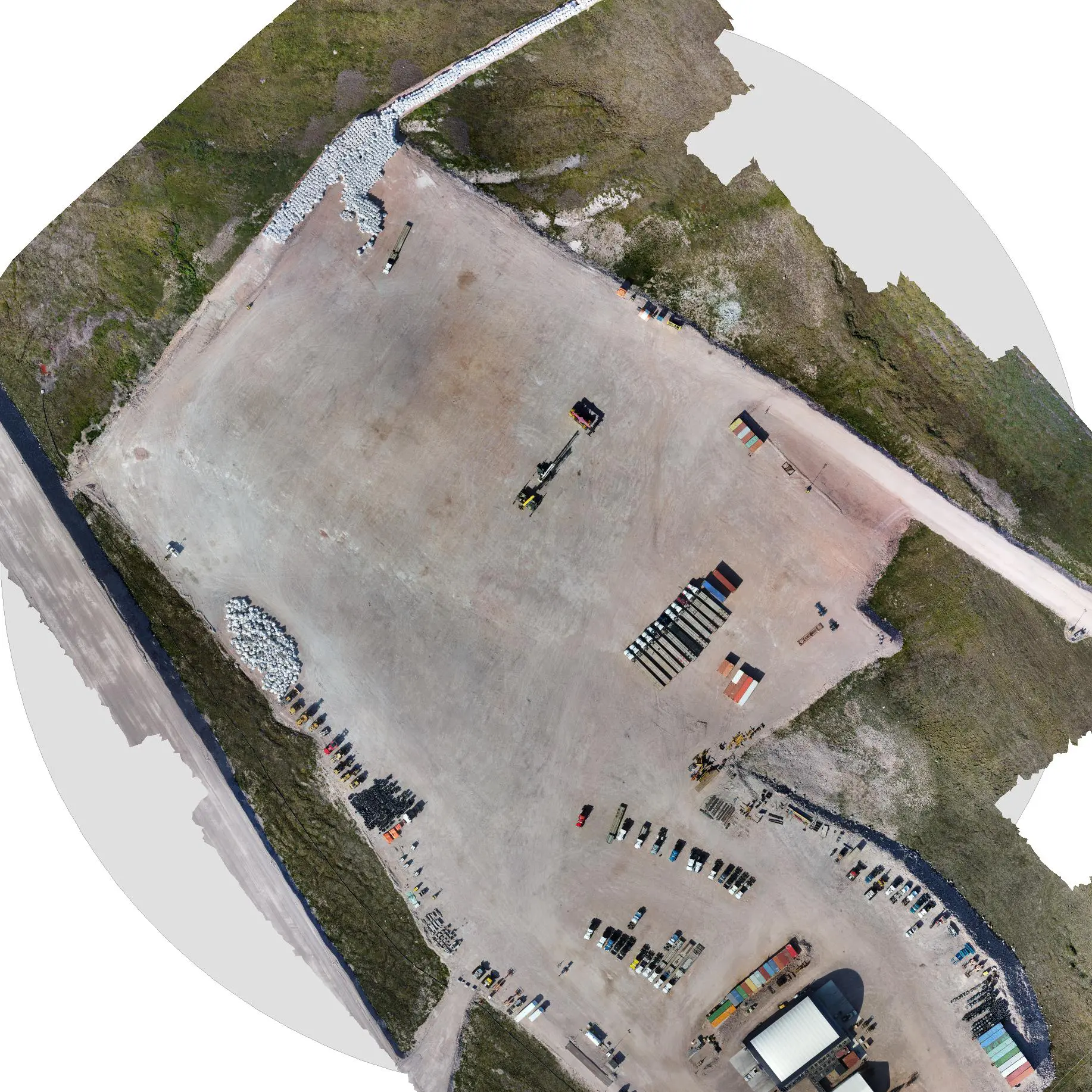
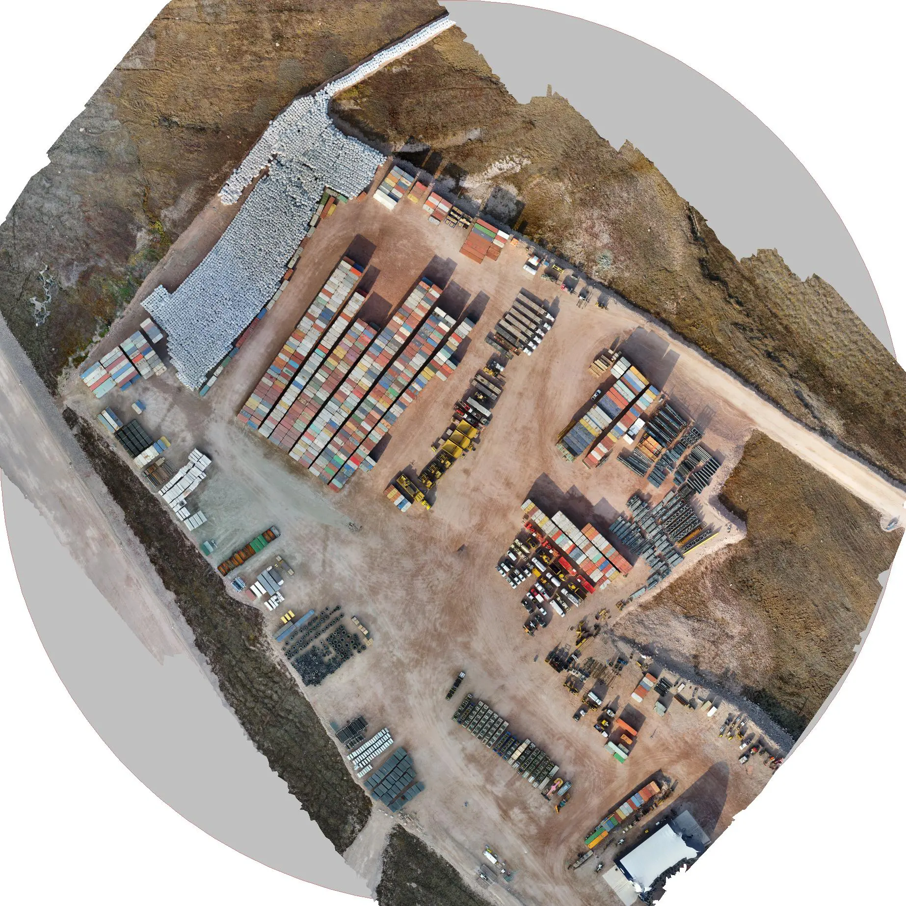
UAV / Drone Mapping
High-resolution aerial mapping and volumetric analysis using advanced UAV photogrammetry to capture reliable, measurable data quickly and safely.
Remote Logistics Support
End-to-end support for Arctic and northern mobilizations — including sea-lift coordination, cargo offload, and site logistics planning to keep projects moving efficiently.
Construction & Heavy-Civil Support
On-site layout, grade control, and material reconciliation for infrastructure and mining projects — ensuring accuracy from design to completion.
Mapping & GIS Data Services
Transforming raw survey data into detailed maps, models, and deliverables using Civil 3D, QGIS, and Global Mapper for clear, actionable insight.
Consulting & Project Management
Technical consulting for geomatics, logistics, and remote operations — providing experienced oversight, field planning, and data integrity from start to finish.
.
History Key Points
2019-01-01
SRE Technical Ltd
Officially Incorporated August 31, 2025
2021-05-01
Outcome Consultants Inc., Ottawa
May 2021- Present (www.outcomeinc.ca)
Geomatics Division Manager
2017-03-01
Nuna Logistics, Edmonton, Alberta.
March 2017 – May 2021. (www.nunalogistics.com)
Civil Lead Surveyor.
2013-06-01
CFM Facility Services, Halifax, Nova Scotia.
June 2013 – March 2017. (www.CFM.ca)
Civil Lead Surveyor.
Our Equipment
SRE Technical Ltd. utilizes advanced geospatial equipment and software to deliver precise and efficient surveying solutions. Our field operations rely on Trimble R12 GNSS receivers and Trimble total stations for high-accuracy positioning and control, supported by DJI drones for aerial mapping, topographic surveys, and volumetric analysis. All collected data is seamlessly integrated into Autodesk Civil 3D and Global Mapper, enabling accurate 3D modeling, terrain analysis, and detailed project deliverables.